If you’ve ever wondered where the perfect place for absolute solitude lies, where no one will ever find you, then it’s definitely Point Nemo. There’s only one caveat to it: there’s no land there either, only the absolute vastness of the ocean.
That’s how the most remote spot from any land on Earth in the world ocean is called. The official name for it is the ‘ocean pole of inaccessibility’. A Croatian survey engineer named Hrvoje Lukatela calculated its coordinates 30 years ago with the help of a computer simulation. This place is located in the Pacific Ocean at 48 degrees south latitude and 123 degrees west longitude; it’s 2,688 kilometers away from the closest three land points and was named after Captain Nemo, a Jules Verne character.

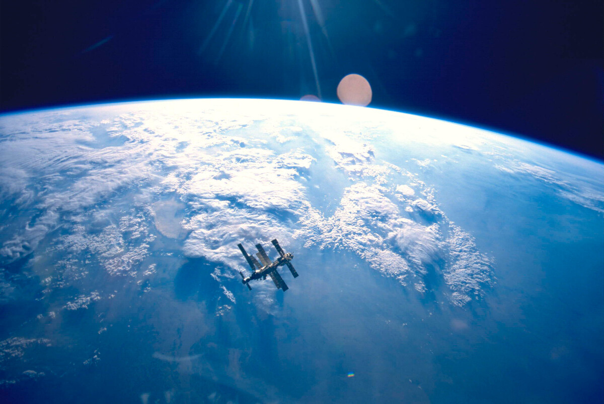
The Mir space station in orbit
NASAIn reality, this is not just a point on the map, but a vast space with an area of more than 30 square kilometers – and yes, it can get pretty boring. It’s a true sea desert (also called a giant dead zone). Colossal masses of water flow here in circles, due to the ocean currents, and almost never come in contact with other masses of water, because of pressure and temperature. Due to this, the water here has almost no nutrients which leads to scarce fauna.
Because of such extreme isolation, this place was chosen as a space junk graveyard – satellites, removed from orbit, space stations and spacecraft are scuttled here. In 2001, the Mir space station, with a mass greater than 140 tons, was scuttled; the ISS is also planned to be scuttled here when its mission comes to an end.
But what Russian “Point Nemo” are we talking about?
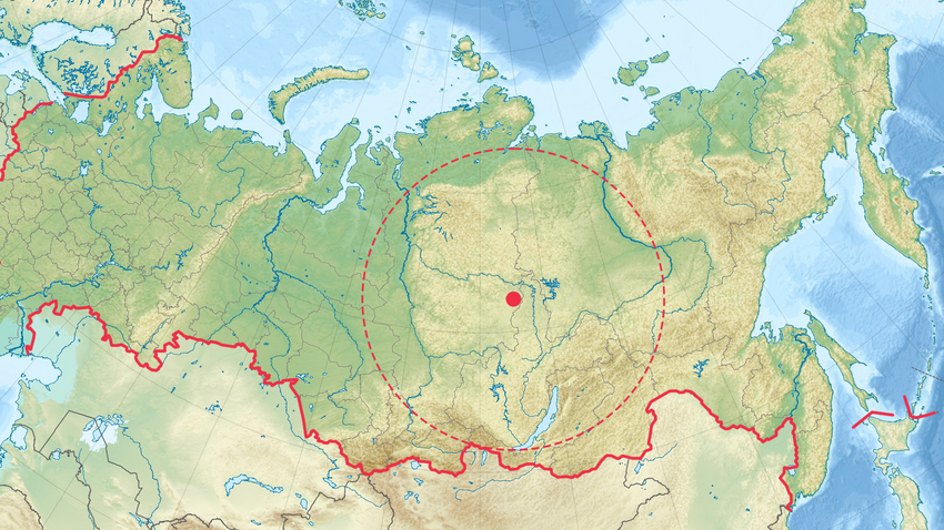
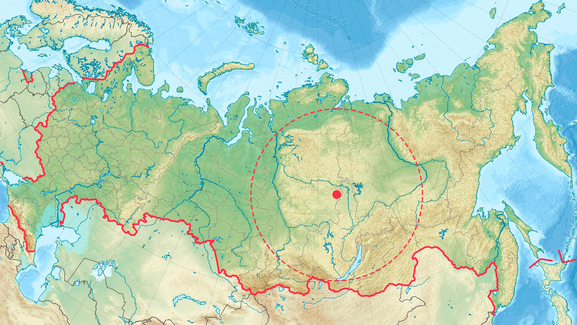
Hypothetically, such a point exists within Russia, too, just the distance should be calculated not to the closest landmass, but to state borders – both to land borders and sea borders. As such, Russia’s “Point Nemo” is the most remote spot from neighboring countries within the territory of Russia. And, although Russia is the largest country on Earth, it turns out that it’s not all that easy to fit a circle with a large area within its borders with such restrictions. Only one area, in fact, fits this description.
Because of its proximity to western borders, indented northern coastlines and protrusions of the southern borders, it’s impossible to fit a circle with more than a 1,000-kilometer radius onto a map of the European part of Russia.

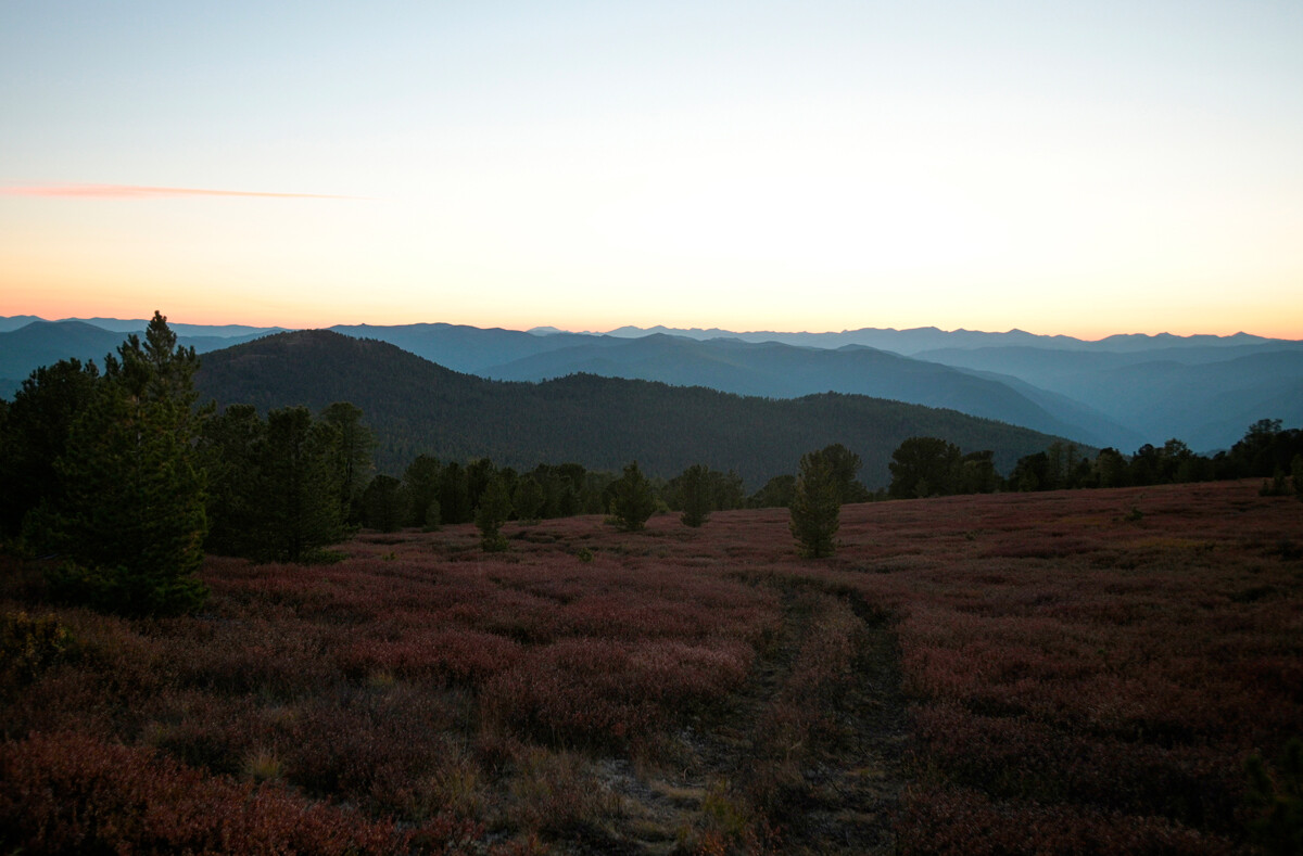
Taiga, Siberia
Alexey Druzhinin/SputnikYour chances are higher after you cross the Ural mountains, where the width of the country’s territory from North to South grows. However, the northern coastline is dotted with the mouths of rivers that flow into the sea, as well as archipelagos. On the South, the border is more even, but it also has some protrusions from Mongolia and China.
To fit a circle with a large radius on a map of the East of the country is even less probable – due to the indented eastern coastline of Kamchatka and the Far East.
The largest area, as such, fits into the vastness of the East Siberian taiga. Amateur researchers believe that it’s an equally remote spot from the borders with China and Mongolia and the northern coastline at 108 degrees east longitude and 63 degrees north latitude, which is located in the northern part of the Irkutsk Region, in the valley of river Nizhnyaya Tunguska.

The shortest distance from there to the southern borders with China and Mongolia is about 1,300 kilometers, as well as to the northern seas; the closest settlement is the tiny village of Khamakar in Katangsky District, Irkutsk Region.
If using any of Russia Beyond's content, partly or in full, always provide an active hyperlink to the original material.
Subscribe
to our newsletter!
Get the week's best stories straight to your inbox