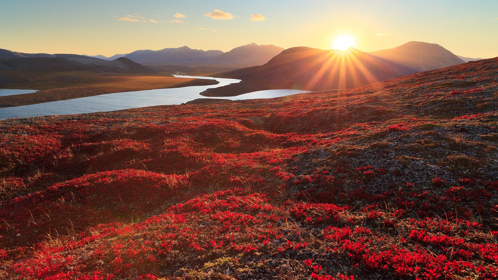
Chukotka is a place where anyone can become a pioneer. This most remote region of the Russian East has boundless tundra, hills that are covered by snow year-round, hot springs and sea animals.
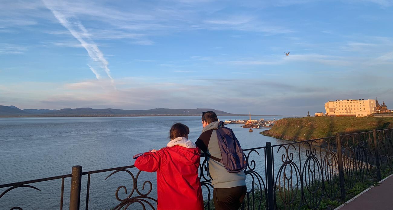
Waiting for a sunset.
Anna SorokinaAlmost all trips through this region begin in Anadyr, the administrative center of Chukotka Autonomous Area. This is a small town (with a population of just 15,000); yet, it seems, Anadyr is the most colorful town in Russia.
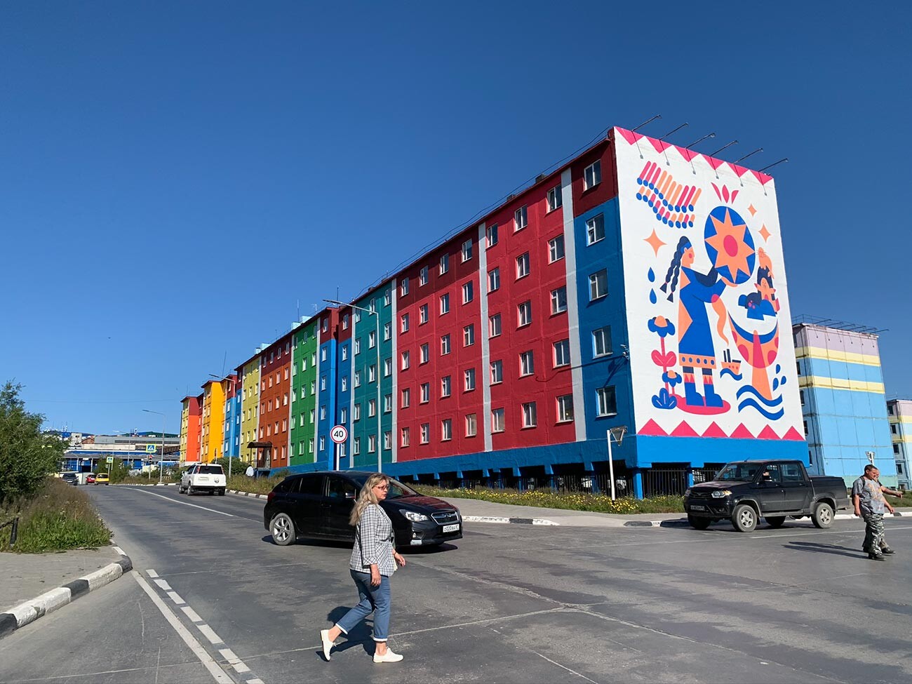
Colorful buildings.
Anna SorokinaChukotka’s weather is harsh: it’s often cloudy, its winds are strong and piercing, the summer is short and cold and there’s almost no vegetation.
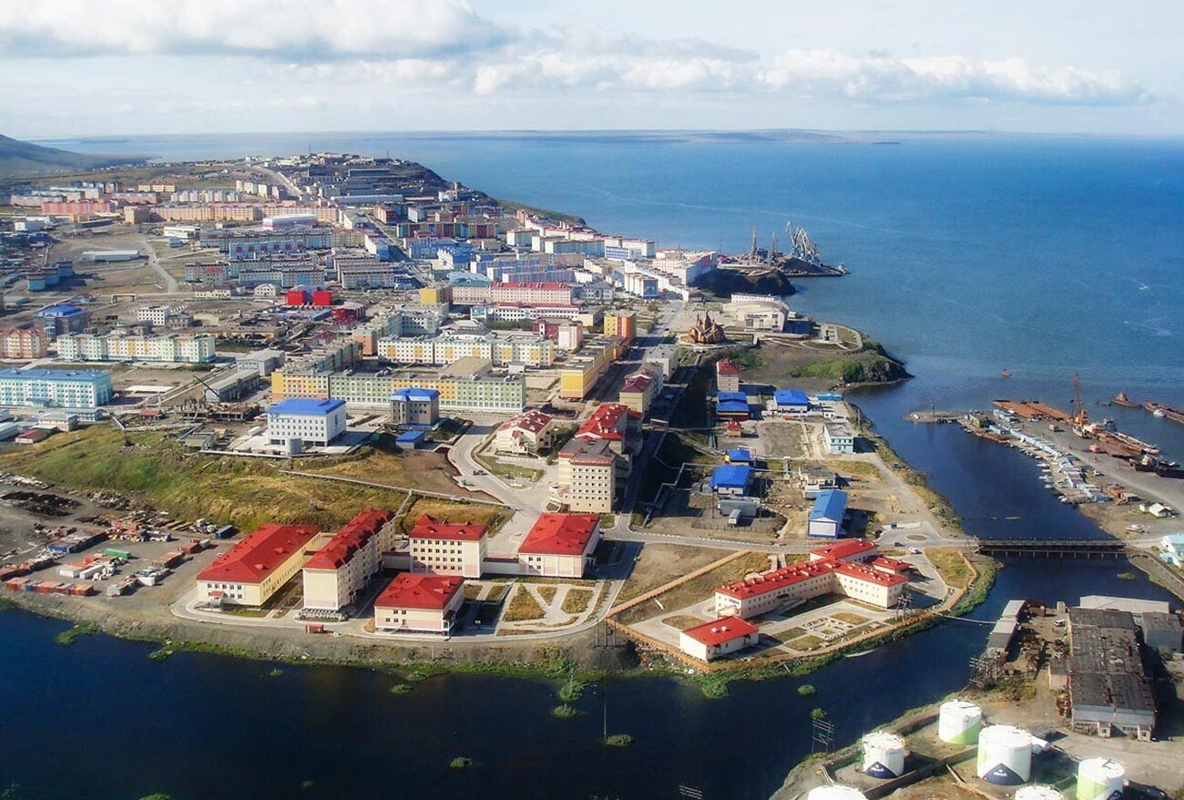
Anadyr from above.
Ida TaubeTo boost people’s mood at least somehow, all houses in the local settlements are painted in different colors; in Anadyr, one can also admire beautiful arctic murals (giant graffiti with a specific northern theme): a polar bear sleeping on the moon, a winking deer and abstract art with walruses.
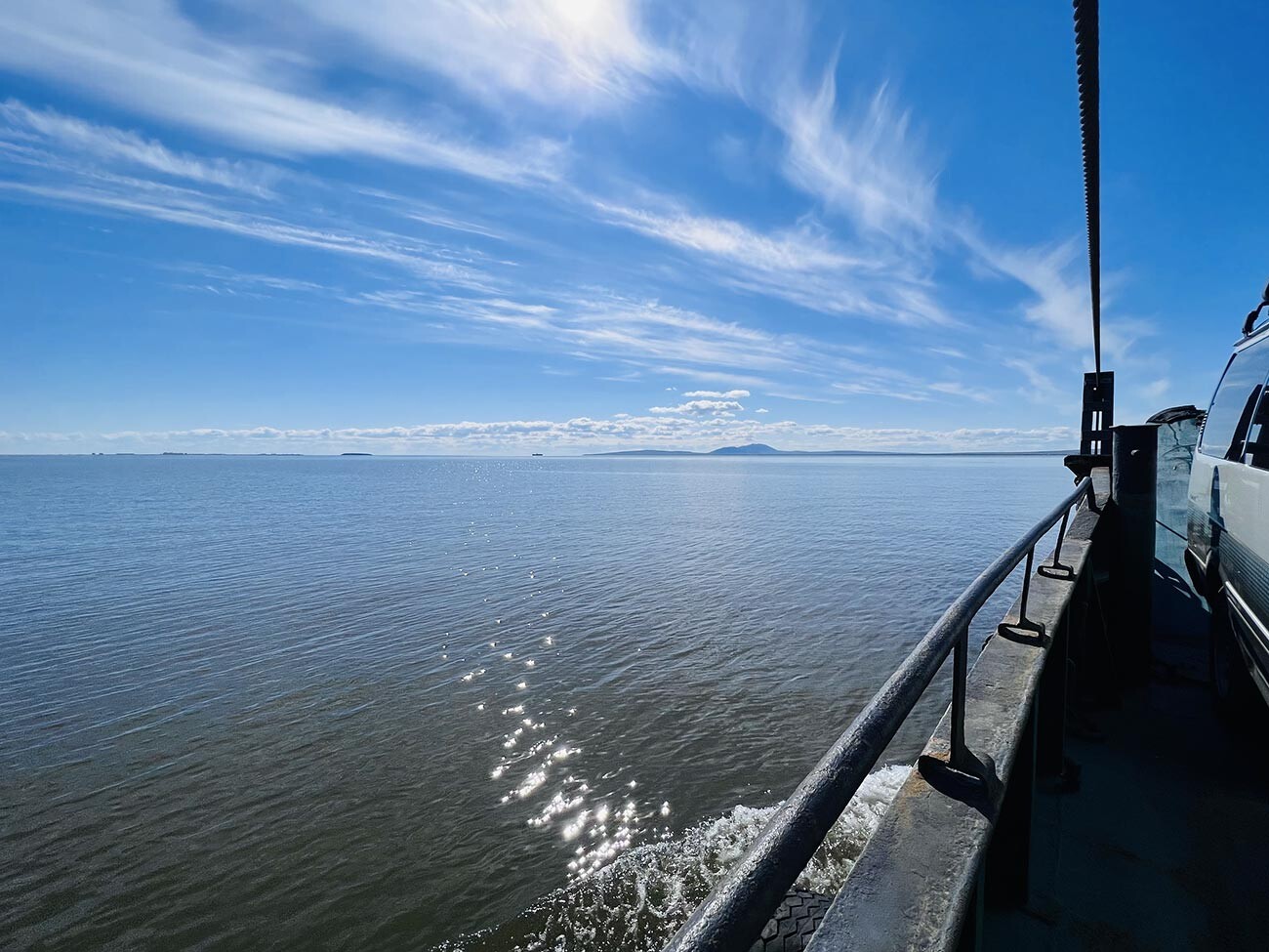
The town of Anadyr lies on an estuary bearing the same name – the gulf of the Bering Sea. This is an incredible place! A huge number of seals and beluga whales (white Arctic toothed whales) live in the estuary and gladly pose for tourists passing by.
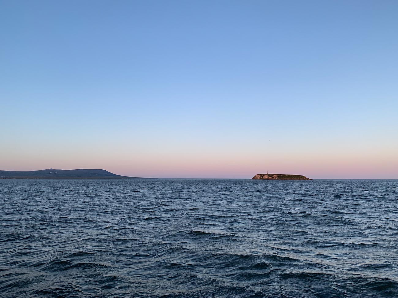
Evening Liman.
Anna SorokinaThere’s no reason to fear them – they’re harmless and just as curious!
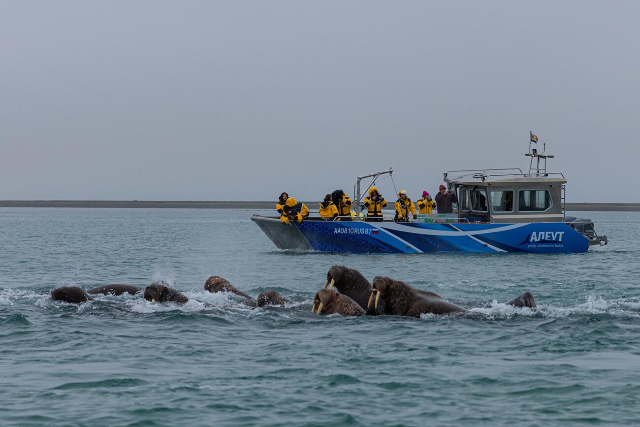
Have you ever heard walruses chuffing?
Alexander Krymov / Chukotka Autonomous Area GovernmentThe sound of walruses chuffing can only be heard in the sea. There are truly amazing places in Beringia National Park, which also includes the coast and the islands of the Bering Sea. One of the parts of the park is the favorite gathering spot for walruses – with their large tusks and booming voices. Another part of the park is a hotspot for playful orcas, showing their tails to human travelers. Yet another part features seals and whales.
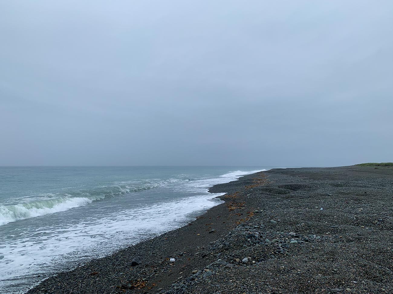
At the Meechkyn spit.
Anna SorokinaThe Bering Sea also has one of the longest spits in the world – called Meechkyn – which is 60 kilometers long. The sand here is like that of the warm seas, claims Alexander Endaltsev, a sea tour guide. “This is the only place between Anadyr and Egvekinot where you can enter the bay and hide from the wind.”
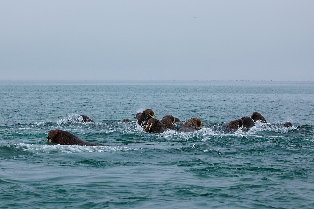
"Are you going to watch us?"
Alexander Krymov / Chukotka Autonomous Area GovernmentRight now, with regional support, the spit is seeing the construction of a modern tourist center, from which people will be able to watch walruses and whales.
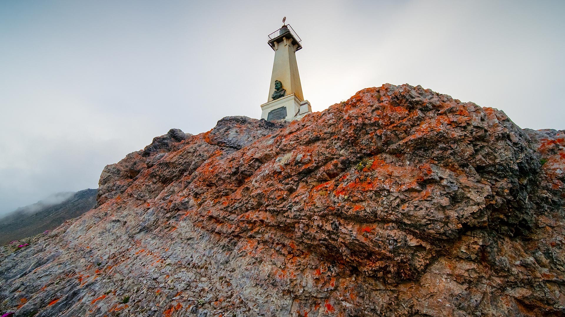
At the edge of the continent.
Legion MediaThe edge of the world is just as you have always imagined it: a high rocky cliff, plunging steeply into the icy sea. Cape Dezhnev is the easternmost mainland point of Russia and of the entire Eurasia.
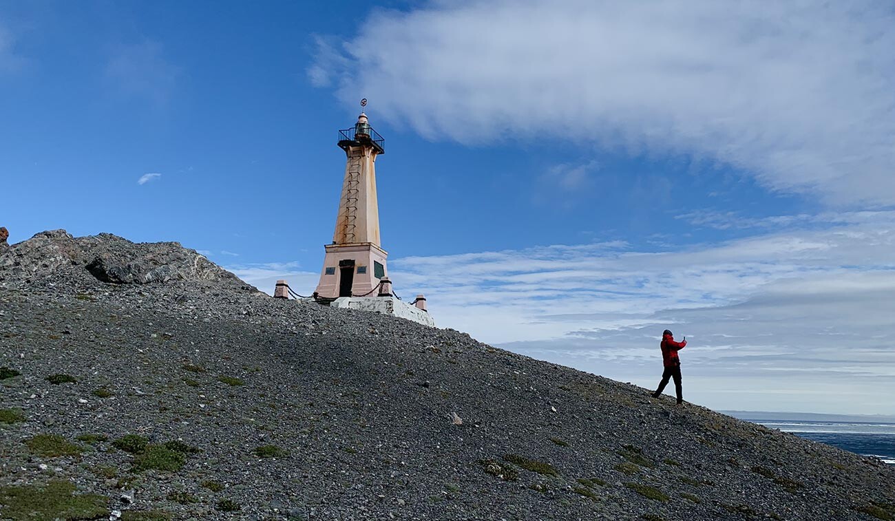
Cape Dezhnev
Anna SorokinaThis is where you can find a lighthouse-monument to cossack Semyon Dezhnev, whose expedition was the first to reach the edge of the continent in 1648.
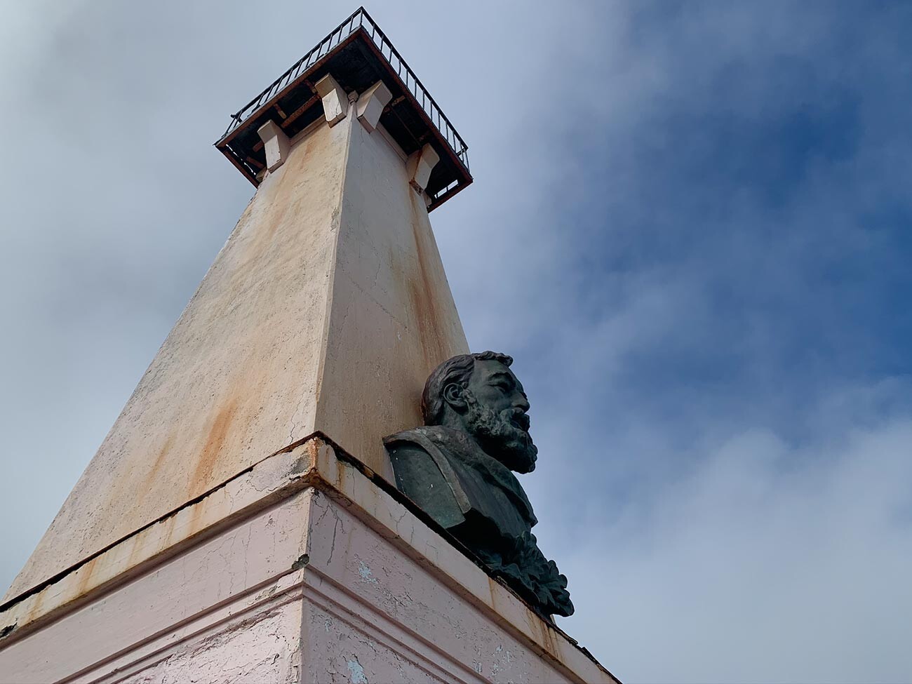
In clear weather, one can see the Diomede Islands from here through the Bering Strait; between them lies the border between Russia and the U.S.
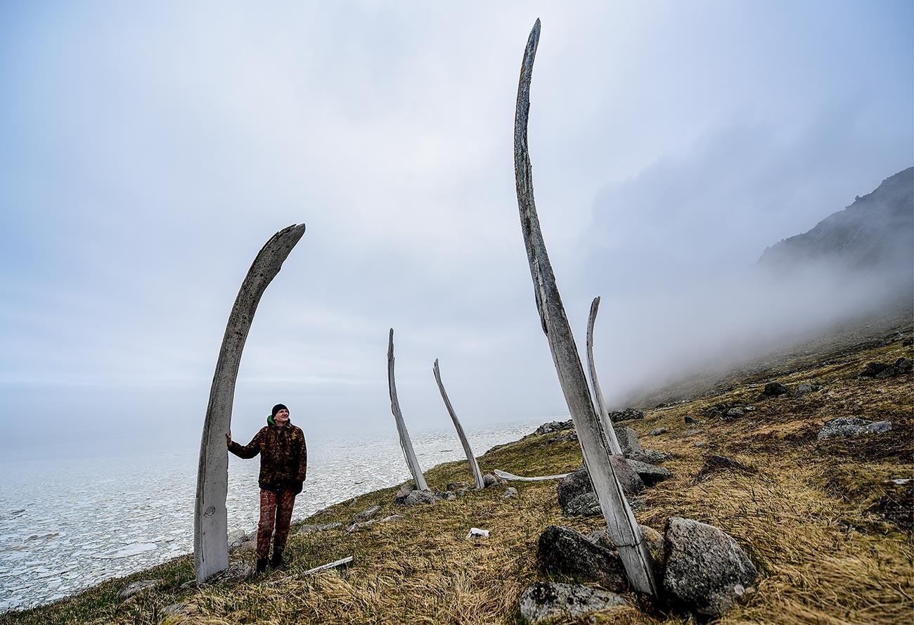
What a scale!
Yuri Smityuk/TASSOn Cape Dezhnev, you can spot the old Naukan Eskimo settlement, which held the honor of being the easternmost settlement until the middle of the previous century (now this title belongs to the village of Uelen, 22 kilometers to the West.
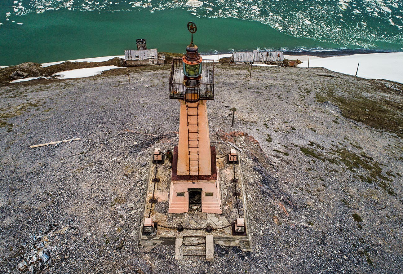
At the seaside.
Yuri Smityuk/TASSPrior to its resettlement in 1958 (the village happened to be too close to the U.S. border), it had a population of about 400 people; now only stone ruins remain of their homes.
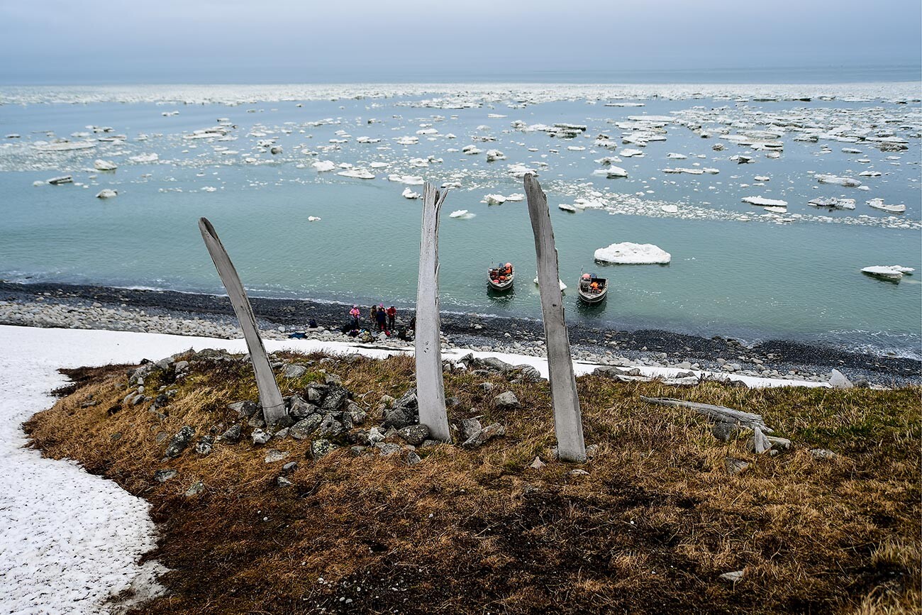
But the most impressive feature of this place are the giant whale jaws, dug into the ground, on which boats were hung in the past. These lands are considered sacred; you can’t swear there or even talk loudly.
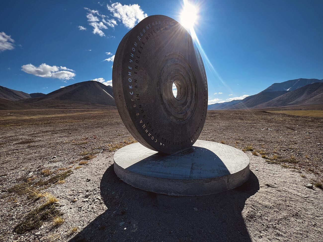
‘The Symbol of the Sun’ monument.
Stepan KorshunovThe meridian that separates “yesterday” from “today” (and also the Eastern Hemisphere from the Western Hemisphere) passes through land only in the Antarctic and on the Chukotka Peninsula. The official date line is shifted towards the sea border between Russia and the U.S., in between the Diomede Islands, but, geographically, it lies 60 kilometers away from the village of Egvekinot.
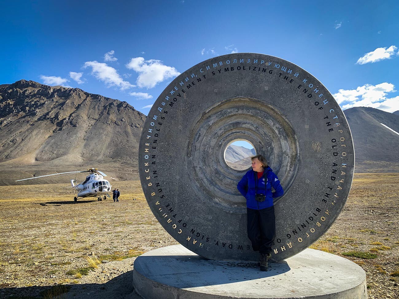
Ida Taube.
Anna SorokinaA concrete monument, ‘The Symbol of the Sun’, installed at the intersection of the Arctic Circle and the 180th meridian, is a small copy of the Sun. “It’s 400 million times smaller than the real star – just 3.48 meters in diameter,” Ida Taube, the photographer and author of the project, notes.
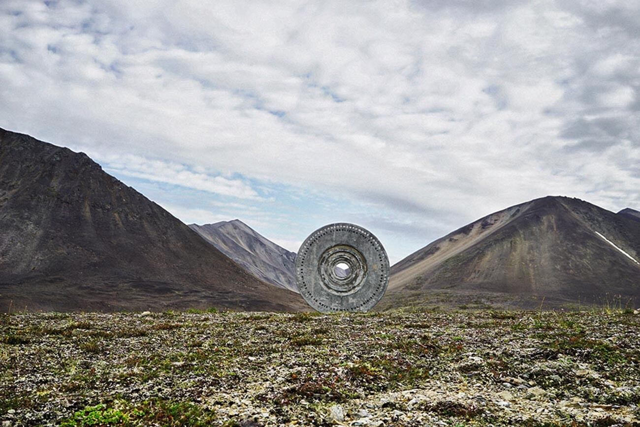
The place where "today" meets "yesterday".
Ida Taube“Today” lies on the hill behind the monument, and “yesterday” is right in front of it. How can you resist saying hello from “the future”... or the "past"?
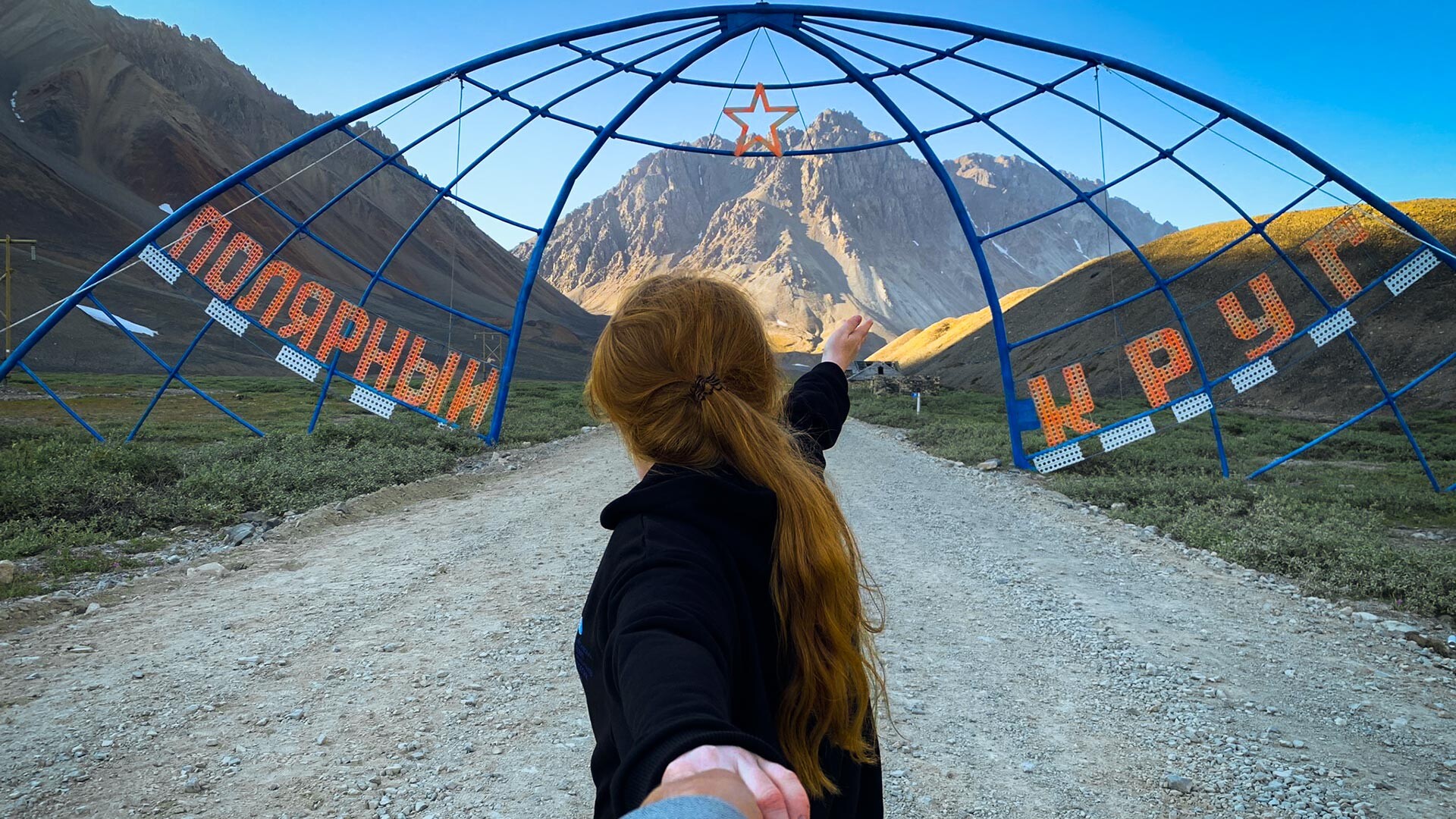
‘The Arch of the Arctic Circle’ was installed by locals in 1981, 28 kilometers away from Egvekinot. This colossal construction made of metal bars hangs over the route leading to the abandoned village of Iultin.
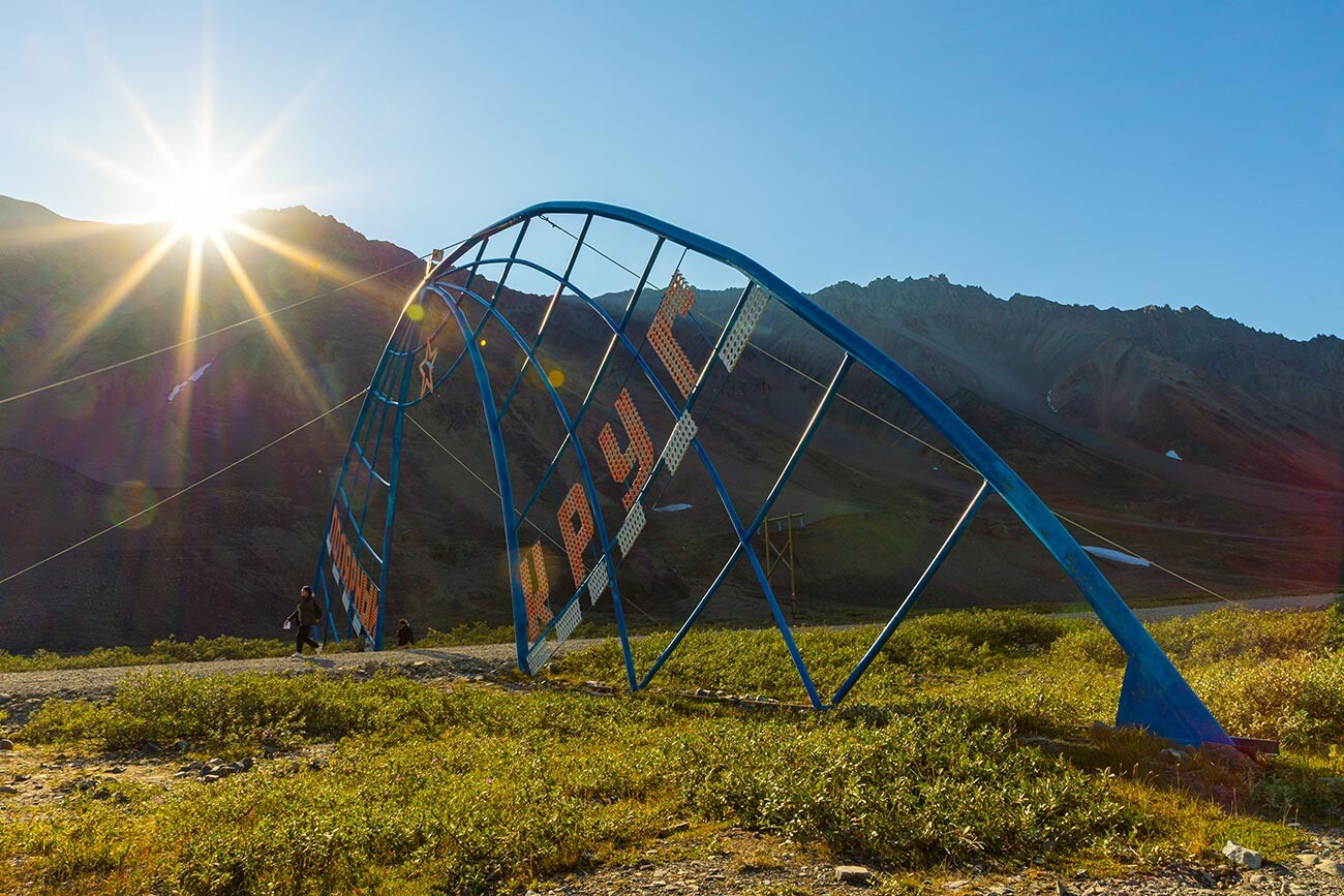
Several years ago, Russian geographers recalculated the coordinates and found out that the real crossing point of the Arctic Circle lies several kilometers away from the arch by this route, at the foot of a hill. However, it was impossible to move the arch there; instead, a memorial pillar was installed.
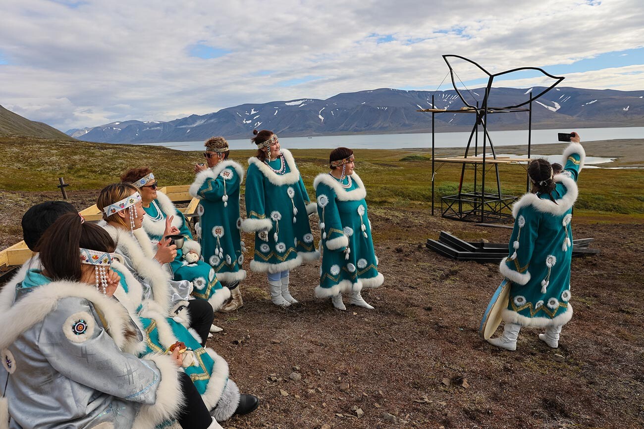
Construction of an ethnic park in the style of the ancient settlement of sea hunters near the village.
Alexander Krymov / Chukotka Autonomous Area GovernmentThe village Egvekinot, 600 kilometers away from Anadyr, is dubbed ‘Chukotka’s Switzerland’ by the locals. This settlement (with a population of slightly over 3,000 people) is situated in a calm bay, encircled by a ring of hills.
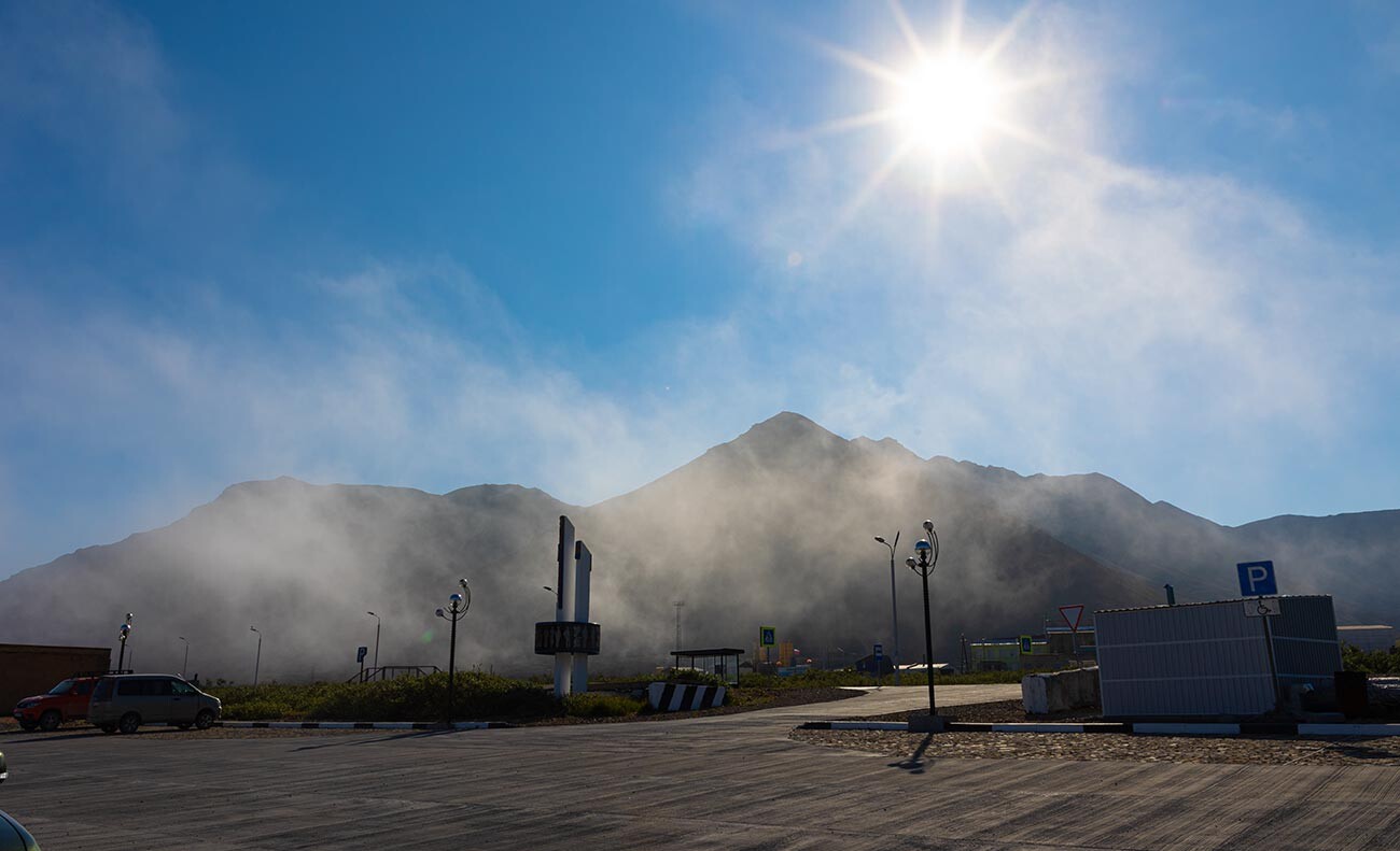
Foggy Egvekinot.
Alexander Krymov / Chukotka Autonomous Area GovernmentThe landscape is truly reminiscent of that of the Alps, only with permafrost and a harsh climate: the average annual temperature here sits at minus 5 degrees Celsius.
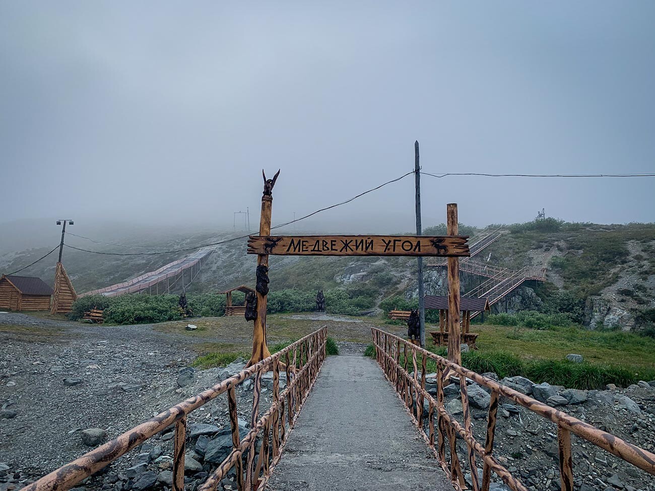
A ski point in the summer.
Anna SorokinaBut, you can find a ski slope and decent cafes. It is also where you can experience the metamorphoses of space: Egvekinot lies several dozens of kilometers to the East from the 180th meridian; hence, geographically, you can step into the Western Hemisphere without crossing the Pacific Ocean.
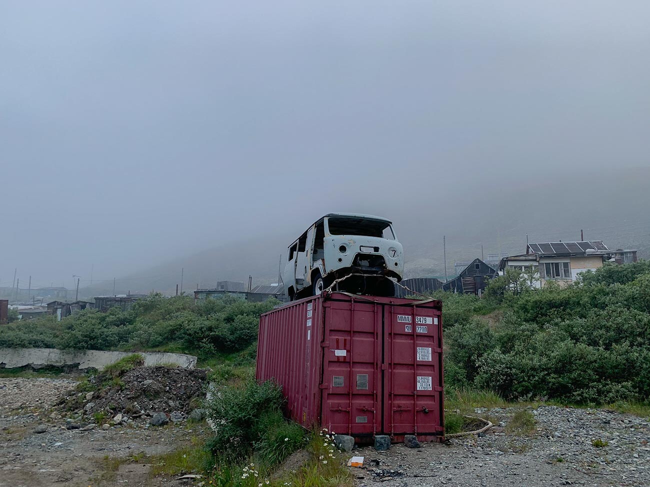
Authentic outskirts.
Anna Sorokina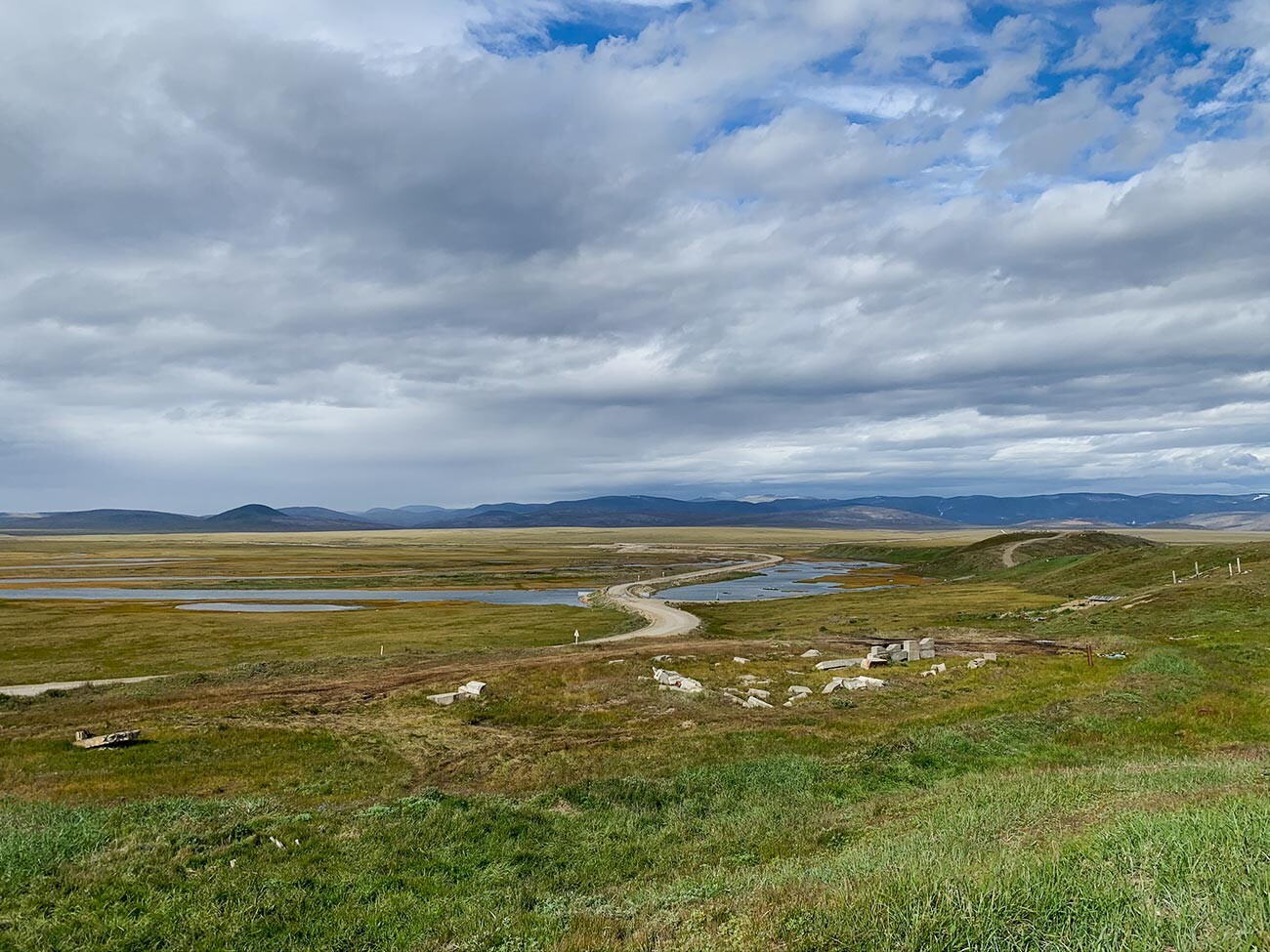
On the way to Lorino.
Anna SorokinaLorino is the largest village in Chukotka, where about 90% of the inhabitants (out of 1,500) are indigenous sea hunters.
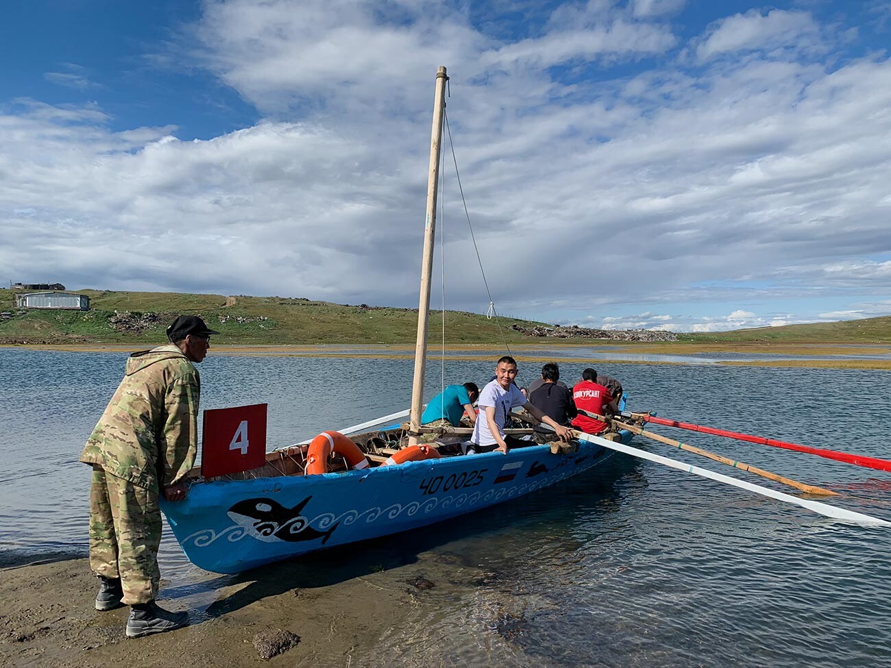
A regatta on traditional boats.
Anna SorokinaThey live in regular apartment blocks, they watch satellite TV, their kids attend school like anyone else, but they also engage in the traditional hunt.
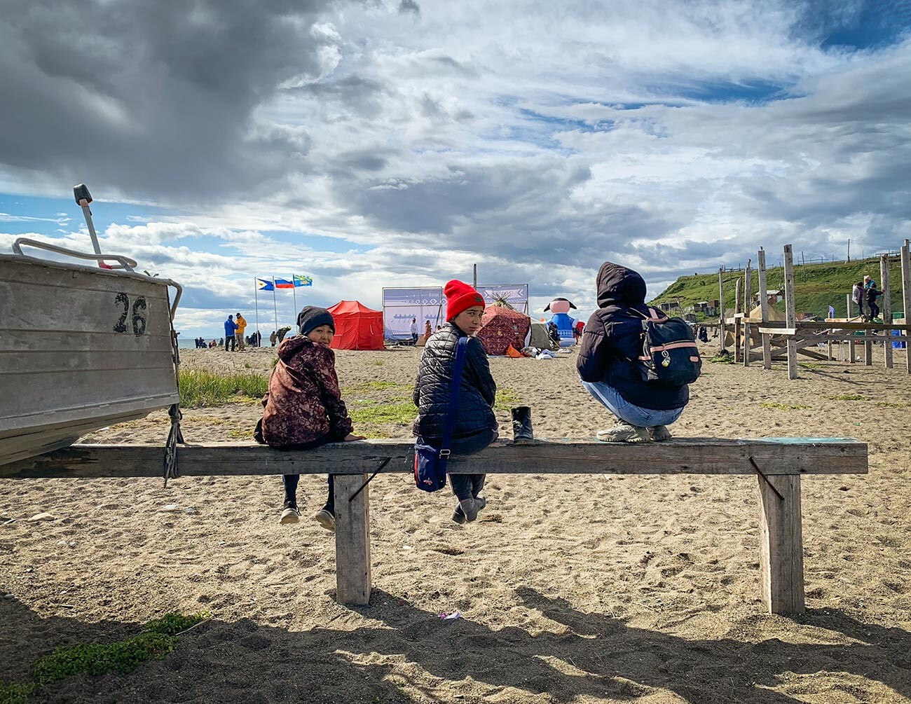
Guests at the Beringia festival.
Anna SorokinaThe spoils of the hunt are then shared among the villagers. Today, the hunters sail the sea on modern boats, but, every summer, they hold self-made kayak sailing competitions and celebrate the Beringia folk festival.
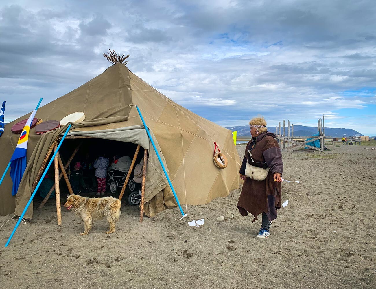
At the Beringia folk festival.
Anna Sorokina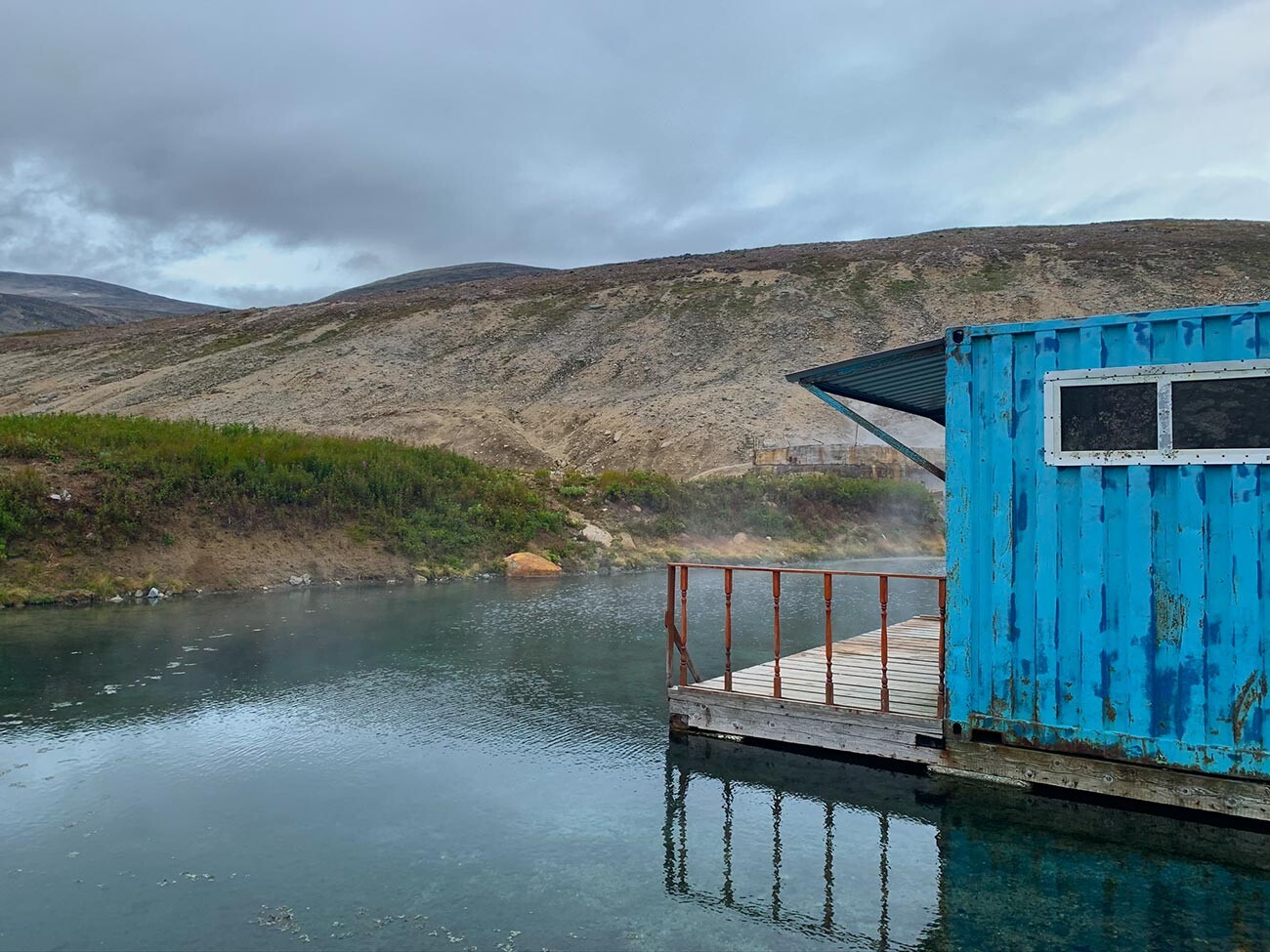
Look at the steam over the water!
Anna SorokinaHot springs in permafrost – isn’t that a wonder? There are about 10 places like this in Chukotka, but the most famous and accessible one lies within 15 kilometers from Lorino village. Baths had been installed at the Lorino hot springs back in the middle of the previous century, but then radon was found in the water.
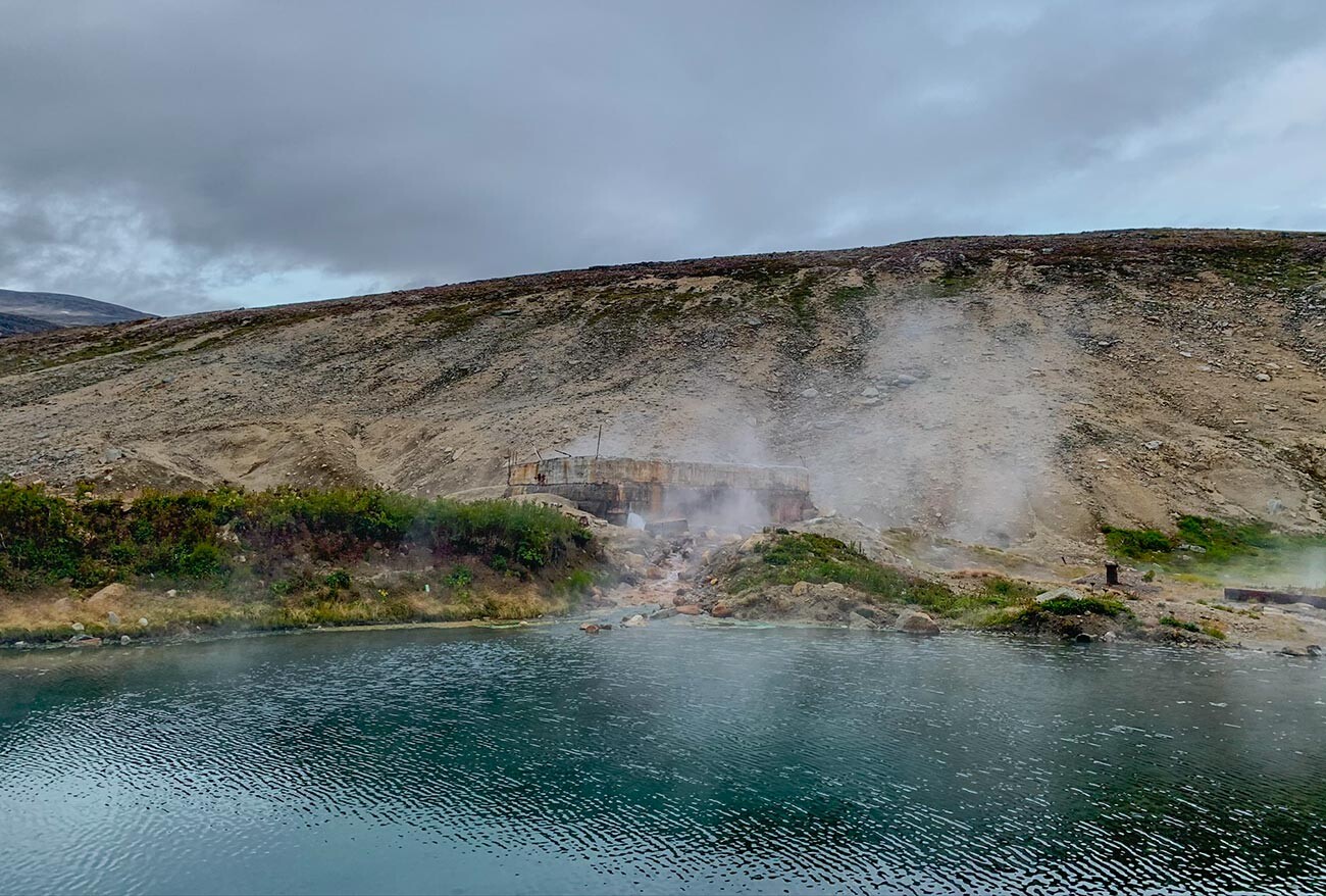
The water is really hot.
Anna SorokinaRadon is a radioactive gas that occurs as an intermediate step in the decay chains of uranium and has a range of potent healing properties. But, its radioactivity poses a threat for children and young people, so it’s most often used as an anti-aging remedy for the elderly, particularly in the treatment of the musculoskeletal system. The water temperature in the springs is about 40 degrees Celsius, sometimes reaching 60 degrees. You can enjoy this hot spring bath for no more than 15 minutes.
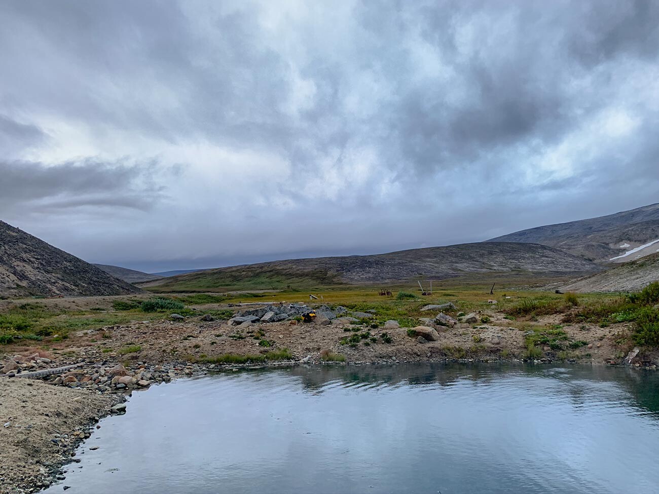
Hot springs with a tundra view.
Anna SorokinaDear readers,
Our website and social media accounts are under threat of being restricted or banned, due to the current circumstances. So, to keep up with our latest content, simply do the following:
If using any of Russia Beyond's content, partly or in full, always provide an active hyperlink to the original material.
Subscribe
to our newsletter!
Get the week's best stories straight to your inbox